Aug 4, 2025
Introducing Keyframe: Geo BIM Powered by Speckle
Introducing Keyframe
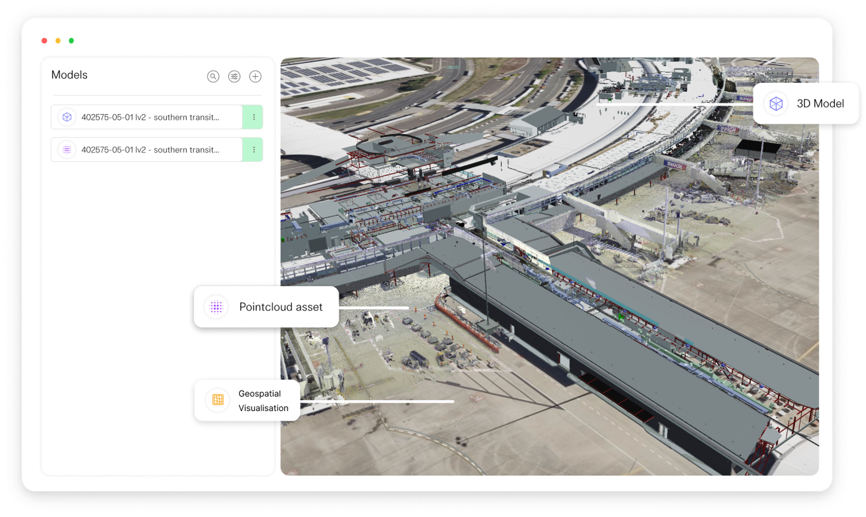
Keyframe is an Australian GeoBIM platform that brings all your 3D models, point clouds, and GIS data into view. It provides a complete picture of your project with its geospatial publishing platform, aligning your team, contractors, and stakeholders.

Speckle x Keyframe: Enabling Creative Geo-Spatial Workflows
Keyframe integrates with Speckle to display models in a geospatial environment alongside point clouds and other file types. This integration enhances Keyframe’s capabilities and unlocks more creative workflows.
Thanks to Speckle, Keyframe overcame interoperability issues, enabling it to serve as a one-stop shop for BIM data in Speckle format.
Watch the demo – Keyframe Speckle Integration: Place Models in a Fully Integrated GIS Environment.
How is Keyframe different from other GIS tools?
- Keyframe's spatial pipeline streams point cloud data on-demand via the web.
- It supports multiple authoring tools, allowing smooth comparison between 3D models.
- It runs in a browser on standard hardware—no need for costly workstations.
Unlocking Keyframe’s Capabilities with Speckle
Now, you can bring models of any size—from small builds to massive infrastructure—into Keyframe via Speckle. Overlay your models with accurate GIS and terrain data to drive informed decision-making.
Keyframe also supports high-resolution, survey-grade LiDAR data, enabling you to verify conditions against your Speckle model without downloading bulky files.
Additionally, Keyframe supports native GIS data and formats like IFC, FBX, and OBJ, empowering teams to collaborate on complex projects.
Conclusion
With platform neutrality and long-term adaptability at its core, Keyframe is built to scale with your needs. As they continue their journey with Speckle, the team is excited to implement even more powerful features.
We can’t wait to see what Keyframe achieves next!

Mirna Savić
Content Manager